JAPAN - Kunisaki

Japan: Kunisaki Peninsula Integrated System

Discover the unique Forestry, Agriculture, and Fisheries System of Oita Prefecture, recognized as a Globally Important Agricultural Heritage System (GIAHS).

Harsh Natural Environment

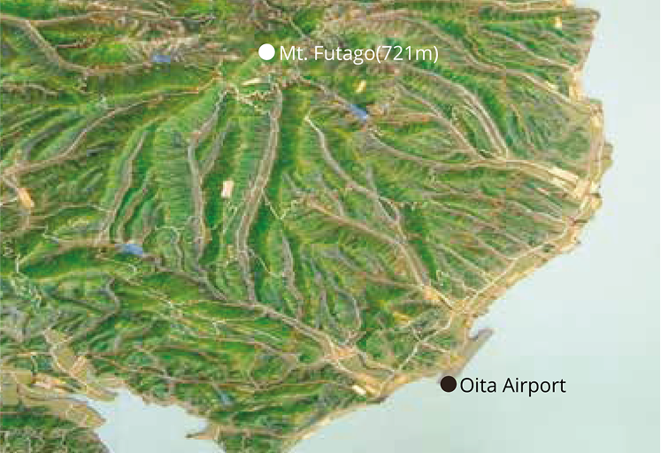
The Kunisaki Peninsula Usa region consists of cities and towns centered on a circular peninsula protruding from the northeastern part of Kyushu and the southern end of the Seto Inland Sea. The terrain is mainly composed of ridges and valleys extending radially from the peaks of the Futago mountain range located in the center. The plains are narrow, the water flows fast, and there are many rivers. In addition to the low rainfall, the local volcanic soil that is easily soaked by rainwater has made it a difficult area to retain “water” since ancient times.

Multiple Interconnected Reservoris Management System

The water source system composed of reservoirs in the connected area (Tsunai 繋い アレア) of Kunisaki City has been used since the Edo period. The irrigation pond Takaoike is installed for water usage in the latter period of wetland rice growing. During this time, the three mid-stream area irrigation ponds, and the two downstream irrigation ponds are interlinked and refill one another with water for agricultural use.
Scroll to Top